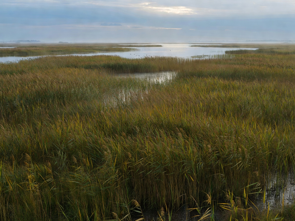
European Birdwatching Regions
Compare Atlantic coasts, Mediterranean wetlands, forests, floodplains, alpine valleys and northern shorelines by habitat and geography.
Explore Regions →EUROPEAN FIELD GUIDE / ROUTE ATLAS
Organise a birdwatching day by region, habitat, route, observation point, season and migration period. Use the atlas to compare access, terrain, shelter and practical requirements before you leave.
START WITH THE FIELD QUESTION
Choose the planning layer that matches your next decision.
Compare Atlantic coasts, Mediterranean wetlands, forests, floodplains, alpine valleys and northern shorelines by habitat and geography.
Explore Regions →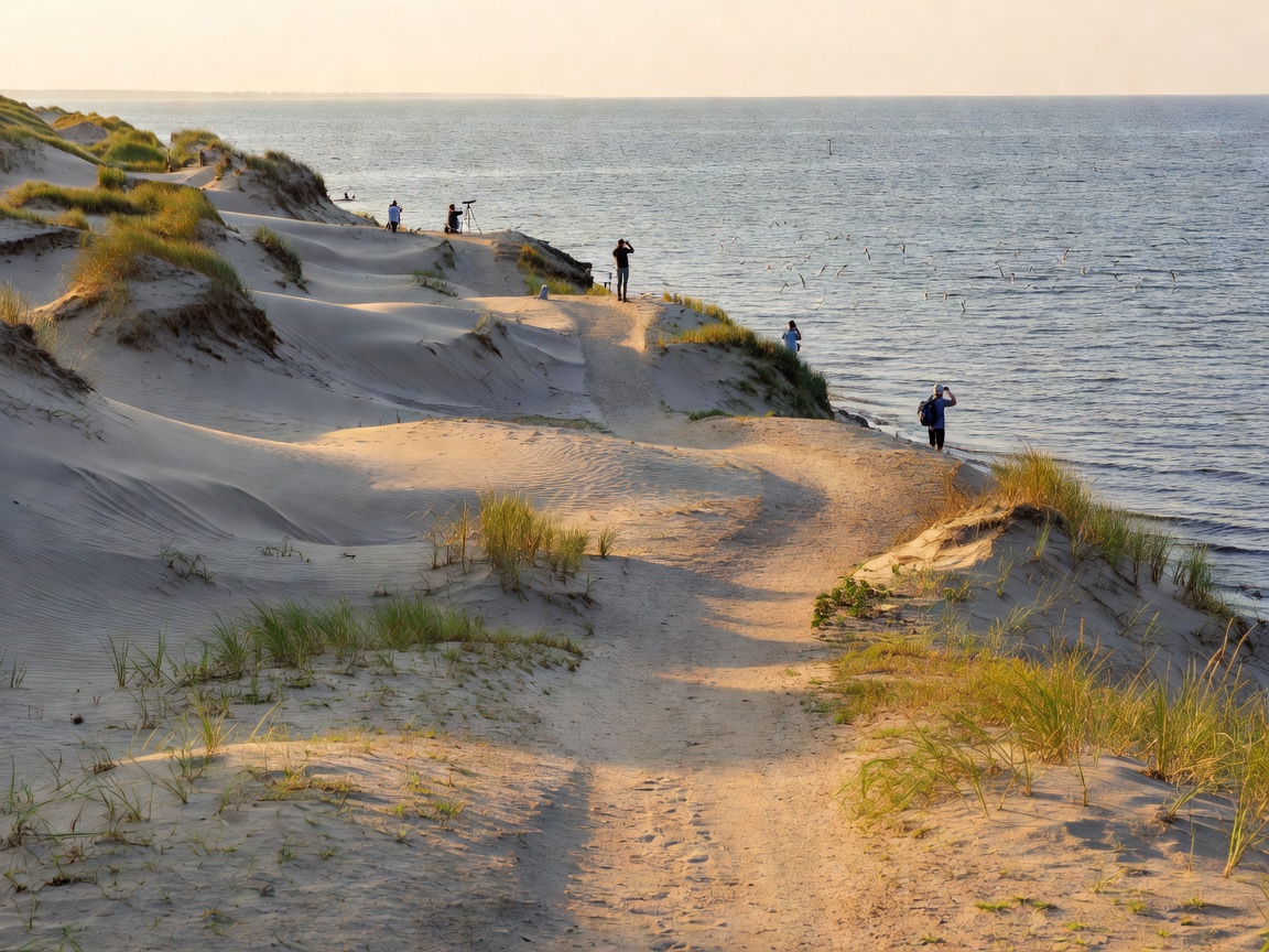
Assess wetland paths, forest trails, coastal lines, river corridors and short observation circuits.
View Routes →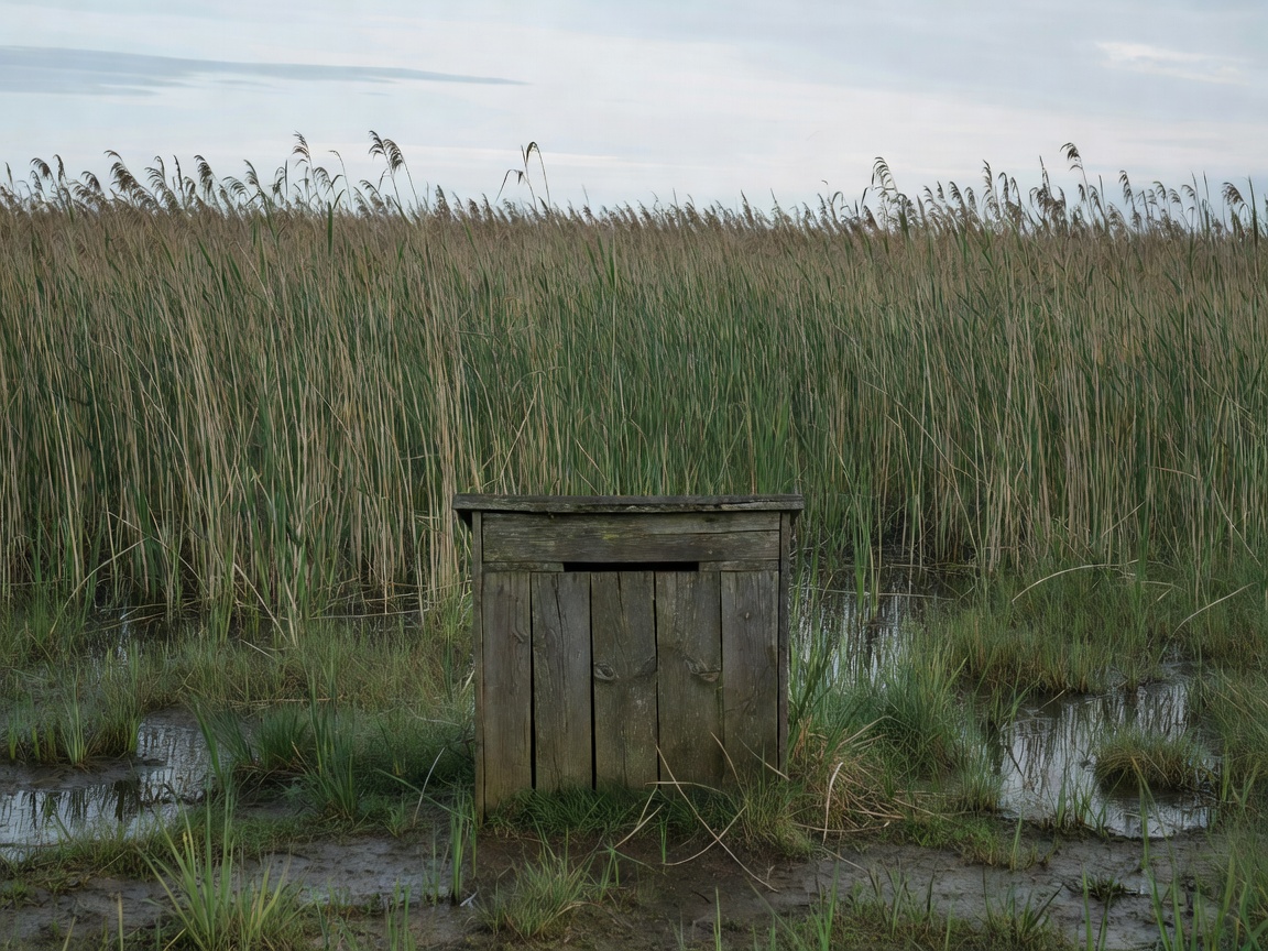
Choose enclosed hides, towers, platforms and viewpoints according to visibility, wind and access.
Find Observation Types →
Use broad spring, summer, autumn and winter patterns without treating seasonal trends as guarantees.
Explore Seasons →
Build a practical plan around habitat, transport, daylight, clothing, equipment and local rules.
Plan a Trip →FIELD METHOD / 05 STEPS
Habitat
Match the landscape to the type of observation you want.
Route type
Separate loops, corridors, towers and viewpoints.
Access
Check transport, surfaces, gates and local restrictions.
Practical planning
Carry water, layers, optics and a current local information source.