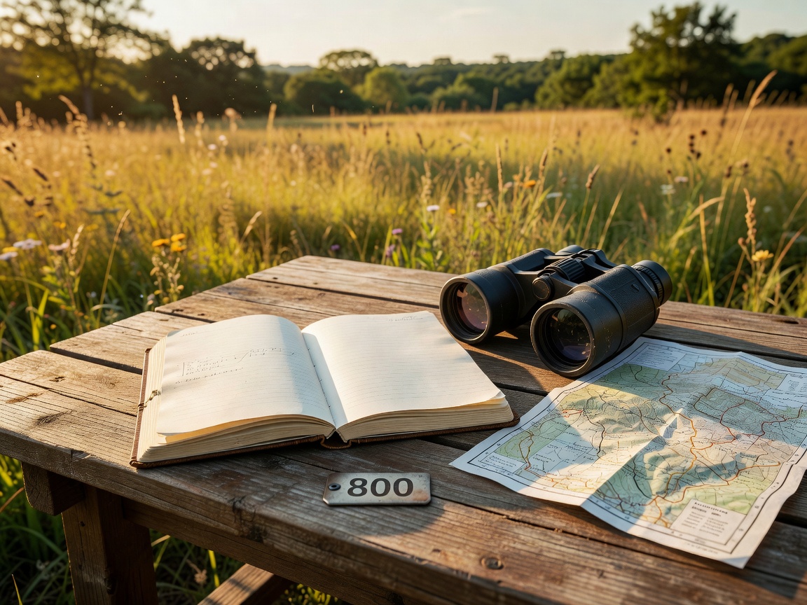
Select region and habitat
Choose a broad region by habitat first. A coast, wetland, forest, floodplain or alpine valley creates a different route and equipment brief. Define the observation goal in practical terms: stationary hide sessions, short accessible paths, varied habitat, long walking routes or weather-resilient alternatives.
Keep expectations general. A region does not guarantee a species, and an online record does not guarantee a current sighting. Use current local information to refine the plan after selecting the habitat.
Build the route plan
Choose one primary route and one fallback. Record access points, transport links, surface, elevation, daylight and likely pause locations. Allow time for scanning, note-taking and quiet observation. Do not fill every hour. A flexible schedule is safer when weather, mobility or habitat conditions change.
Accommodation and transport
Consider departure time, distance to the first route, secure equipment storage and the ability to reach a poor-weather alternative. Public transport may reduce parking pressure but can constrain early starts. Driving may improve route choice while creating responsibility around legal parking and private access.
Do not assume that accommodation, transport or facilities are available in a particular location. Confirm arrangements directly through current providers and local authorities.
Equipment and clothing
- Binoculars for general scanning and moving routes.
- Spotting scope and stable support for distant open habitat.
- Current field guide or offline reference.
- Water, food and a small first-aid kit.
- Layered clothing, waterproof protection and sun protection.
- Notebook, charged phone and an offline route map.
Early starts and field etiquette
Early starts can provide quieter paths and useful light, but check access rules before entering a site outside staffed periods. Keep voices low. Maintain distance from birds. Avoid nest disturbance, playback where inappropriate and repeated approaches. Keep dogs under control where required. Respect private land, gates, barriers and restricted zones.
Photography should follow the same standard. Do not leave a route, block a hide or crowd a subject for a better image. Avoid publishing sensitive locations for vulnerable nesting birds.
Accessibility and local rules
Ask practical questions before travelling: surface type, gradient, seating, accessible toilets, gate width, viewing height and route alternatives. A site description may not cover every need. Contact the responsible local information point when details matter. Check whether permits, seasonal closures or photography restrictions apply.
Practical checklist
- Region and primary habitat selected.
- Primary route and weather fallback recorded.
- Access, transport and return time checked.
- Weather forecast reviewed close to departure.
- Water, food, layers and optics packed.
- Local rules, restricted areas and dog guidance read.
- Emergency contact and offline navigation available.
Good for
This planning method suits independent trips, mixed-ability groups and visitors who need clear alternatives.
What to know
Planning information ages. Recheck conditions, access and local rules before every field day. Responsible observation matters more than completing a route.
Need a structured brief? Contact the field desk →