Walking routes and short loops
Short loops work well when daylight, mobility, weather or attention span is limited. They can still provide varied observation if they pass water, edge habitat, cover and an open viewing point. Distance alone is not a quality measure. A compact route with several quiet stops may be more useful than a longer path with little habitat change.
Check the surface, slope, turning points and opportunities to pause without blocking other users. Note whether the route returns to transport or requires a second connection. In wet conditions, a short loop may be the safest option even when a longer route remains officially open.
Wetland paths and observation circuits
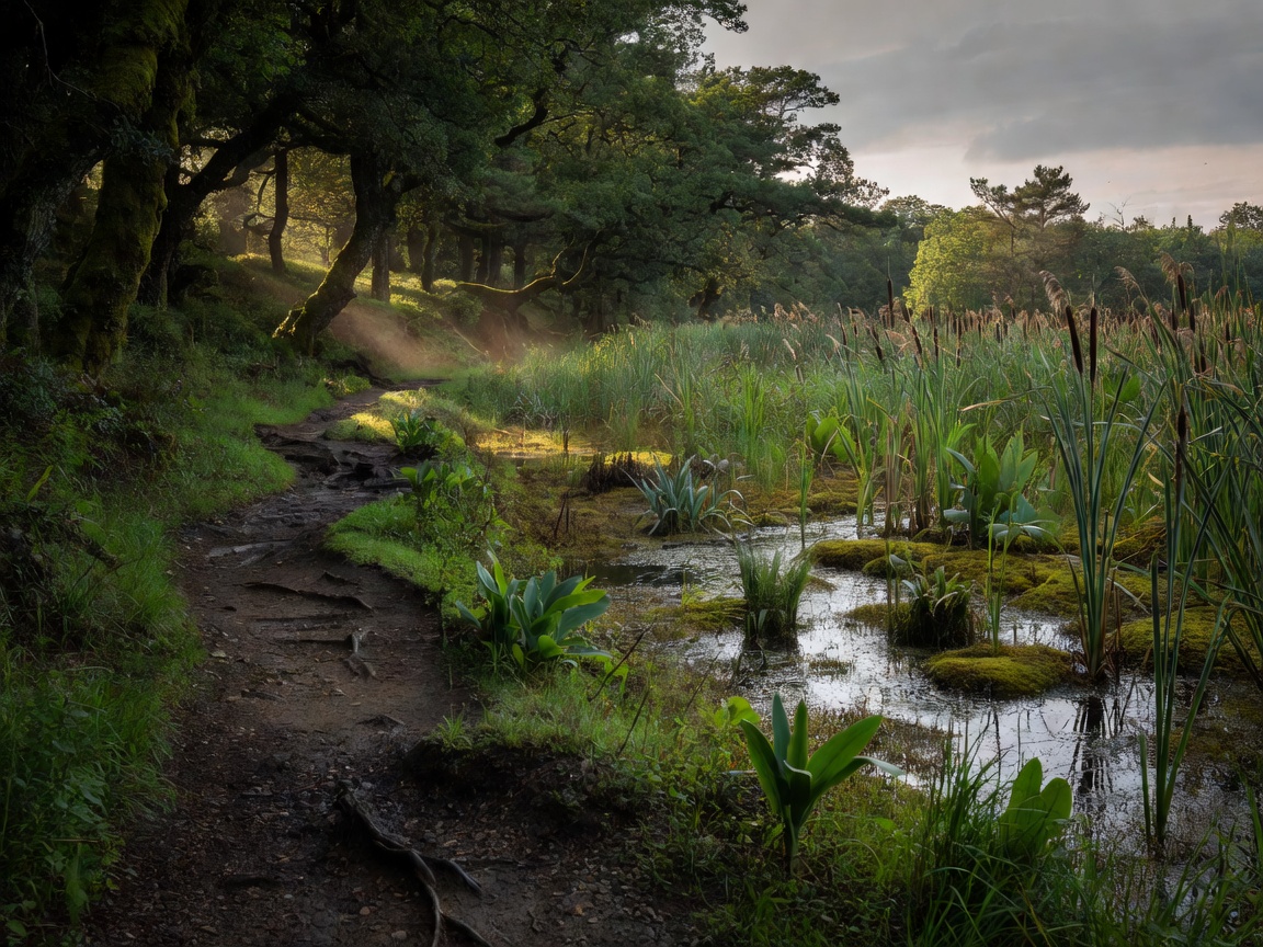
Wetland paths often use boardwalks, compacted tracks or raised embankments. These surfaces can improve access but may become slippery, flooded or exposed. Observation circuits are strongest when hides, platforms or bends offer different viewing directions rather than repeating one straight line.
Read local guidance about water levels, seasonal closures and protected areas. Keep noise low. Do not leave the path to approach birds or search for nests. A route is successful when it protects the habitat as well as the observer’s time.
Forest trails and river corridors
Forest routes depend on edge quality, clearings, stream crossings and quiet pacing. Dense woodland can reduce visual range, so plan for listening and patient stops. River corridors can offer changing habitat, but bank erosion, mud and flooding may affect access. Bridges and embankments can be useful orientation points but are not automatically safe observation positions.
Coastal routes
Coastal routes provide broad sightlines and changing light. They also expose observers to wind, salt spray and fast weather changes. Check tide information where mudflats, estuaries or tidal crossings are involved. Dune paths may be uneven. Clifftop routes require strict distance from edges and adherence to barriers.
Route assessment checklist
- Record the stated length without assuming walking time.
- Check elevation, gradient, surface and rest points.
- Identify public transport, parking and the return connection.
- Mark sheltered alternatives for wind or rain.
- Allow time for stationary observation, not only walking.
- Confirm current access information before departure.
Advantages and limitations
Short loops offer control and repeatability. Longer field routes cover more habitat but increase exposure to weather, fatigue and navigation errors. Coastal paths can maximise visibility but minimise shelter. Forest routes offer cover but may restrict sightlines. Wetland circuits support focused viewing but can depend heavily on water level and boardwalk condition.
Good for
Route comparison is good for building a realistic day plan around available time, transport and mobility needs.
What to know
Published route details can change. Do not infer a current condition from an old description. Respect private land, keep dogs under control where required and leave no trace.
Need route filters? Send the field desk your access requirements →